Field west of Milverton
Introduction
The photograph on this page of Field west of Milverton by Derek Harper as part of the Geograph project.
The Geograph project started in 2005 with the aim of publishing, organising and preserving representative images for every square kilometre of Great Britain, Ireland and the Isle of Man.

There are currently over 7.5m images from over 14,400 individuals and you can help contribute to the project by visiting https://www.geograph.org.uk
Field west of Milverton
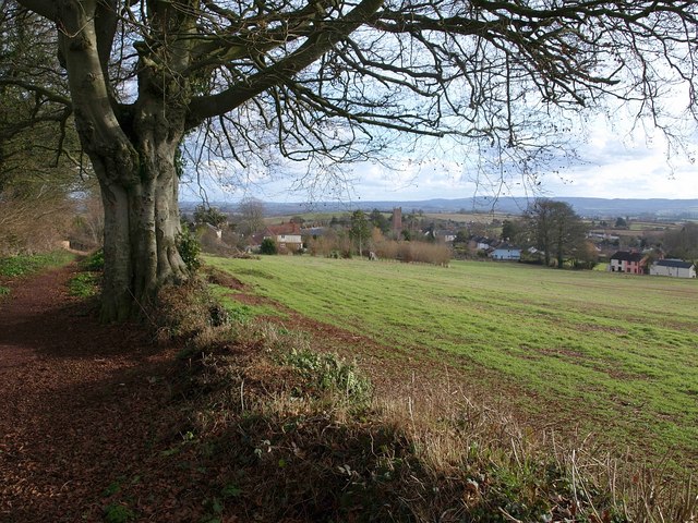
Image: © Derek Harper Taken: 1 Feb 2010
Footpath WG 7/25 is on the left, running past the beech tree alongside the field towards Wood Street. Across the field on the right, Court Cottages are on the High Street, which runs towards the church.
Images are licensed for reuse under creativecommons.org/licenses/by-sa/2.0
Image Location
Latitude
51.02764
Longitude
-3.260487