Entering Cogenhoe along the Nene Way
Introduction
The photograph on this page of Entering Cogenhoe along the Nene Way by Kokai as part of the Geograph project.
The Geograph project started in 2005 with the aim of publishing, organising and preserving representative images for every square kilometre of Great Britain, Ireland and the Isle of Man.

There are currently over 7.5m images from over 14,400 individuals and you can help contribute to the project by visiting https://www.geograph.org.uk
Entering Cogenhoe along the Nene Way
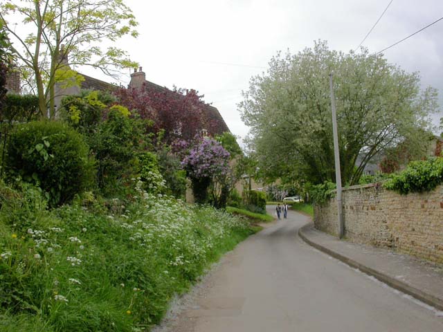
Image: © Kokai Taken: 16 May 2006
The local pronunciation for this town is something like 'Coogner' and there has in the past been some insistence that this is the only correct pronunciation. This is a section of the Nene Way to the north of the village.
Images are licensed for reuse under creativecommons.org/licenses/by-sa/2.0
Image Location
Latitude
52.24094
Longitude
-0.785874