Icy road at Bromesberrow - 2
Introduction
The photograph on this page of Icy road at Bromesberrow - 2 by Trevor Rickard as part of the Geograph project.
The Geograph project started in 2005 with the aim of publishing, organising and preserving representative images for every square kilometre of Great Britain, Ireland and the Isle of Man.

There are currently over 7.5m images from over 14,400 individuals and you can help contribute to the project by visiting https://www.geograph.org.uk
Icy road at Bromesberrow - 2
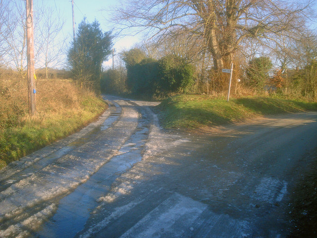
Image: © Trevor Rickard Taken: 1 Jan 2010
At the lane junction near Brown's End. The spring runs from a little way up the lane on the left, making it a difficult route for vehicle or walker.
Images are licensed for reuse under creativecommons.org/licenses/by-sa/2.0
Image Location
Latitude
52.005209
Longitude
-2.368374