Tosh Tarn
Introduction
The photograph on this page of Tosh Tarn by Michael Graham as part of the Geograph project.
The Geograph project started in 2005 with the aim of publishing, organising and preserving representative images for every square kilometre of Great Britain, Ireland and the Isle of Man.

There are currently over 7.5m images from over 14,400 individuals and you can help contribute to the project by visiting https://www.geograph.org.uk
Tosh Tarn
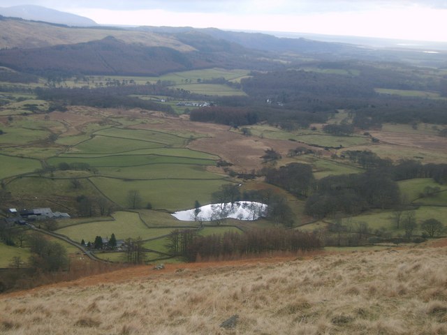
Image: © Michael Graham Taken: 12 Feb 2010
According to Heaton Cooper the tarn is all that remains of an ice age lake which covered the Nether Wasdale area. He also notes that in 1865 a local farmer found two blocks of Plumbago in a pile of stones. These blocks were carved with dies to cast coins. The coins were a groat and half a groat pieces from the period of Edward IV and Richard III and silver pennies from the reign of Henry VII. It is suspected that the forger was a local monk from Furness Abbey.
Images are licensed for reuse under creativecommons.org/licenses/by-sa/2.0
Image Location
Latitude
54.43507
Longitude
-3.345702