The quickest and the safest route
Introduction
The photograph on this page of The quickest and the safest route by Anthony Vosper as part of the Geograph project.
The Geograph project started in 2005 with the aim of publishing, organising and preserving representative images for every square kilometre of Great Britain, Ireland and the Isle of Man.

There are currently over 7.5m images from over 14,400 individuals and you can help contribute to the project by visiting https://www.geograph.org.uk
The quickest and the safest route
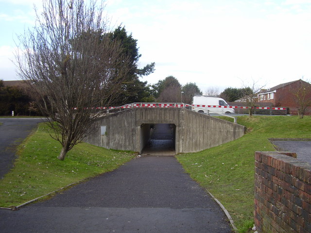
Image: © Anthony Vosper Taken: 16 Feb 2010
This subway goes under the Southern Way linking the local estates to the Crabtree Public House.
Images are licensed for reuse under creativecommons.org/licenses/by-sa/2.0
Image Location
Latitude
51.427475
Longitude
-2.858931