Social housing
Introduction
The photograph on this page of Social housing by Jonathan Billinger as part of the Geograph project.
The Geograph project started in 2005 with the aim of publishing, organising and preserving representative images for every square kilometre of Great Britain, Ireland and the Isle of Man.

There are currently over 7.5m images from over 14,400 individuals and you can help contribute to the project by visiting https://www.geograph.org.uk
Social housing
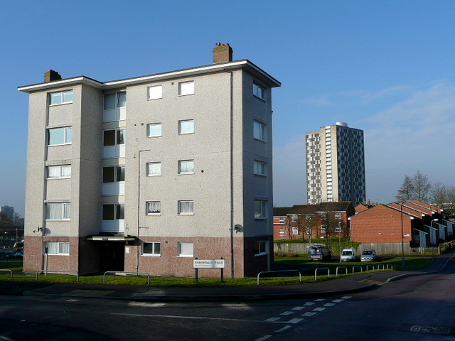
Image: © Jonathan Billinger Taken: 17 Feb 2010
High, medium and low-rise housing in the north-western suburbs of Southampton. Compare and contrast with Image taken over 13 years earlier.
Images are licensed for reuse under creativecommons.org/licenses/by-sa/2.0
Image Location
Latitude
50.930029
Longitude
-1.454962