Reuincraig or Corsehill Castle
Introduction
The photograph on this page of Reuincraig or Corsehill Castle by wfmillar as part of the Geograph project.
The Geograph project started in 2005 with the aim of publishing, organising and preserving representative images for every square kilometre of Great Britain, Ireland and the Isle of Man.

There are currently over 7.5m images from over 14,400 individuals and you can help contribute to the project by visiting https://www.geograph.org.uk
Reuincraig or Corsehill Castle
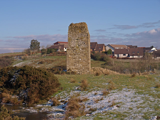
Image: © wfmillar Taken: 17 Feb 2010
Showing the only remains left after building of the nearby railway. The ever expanding town of Stewarton behind. http://www.castleuk.net/castle_lists_scotland/64/corsehill.html
Images are licensed for reuse under creativecommons.org/licenses/by-sa/2.0
Image Location
Latitude
55.686618
Longitude
-4.519458