Looking towards Trafford Park from the A56
Introduction
The photograph on this page of Looking towards Trafford Park from the A56 by Paddy Griffin as part of the Geograph project.
The Geograph project started in 2005 with the aim of publishing, organising and preserving representative images for every square kilometre of Great Britain, Ireland and the Isle of Man.

There are currently over 7.5m images from over 14,400 individuals and you can help contribute to the project by visiting https://www.geograph.org.uk
Looking towards Trafford Park from the A56
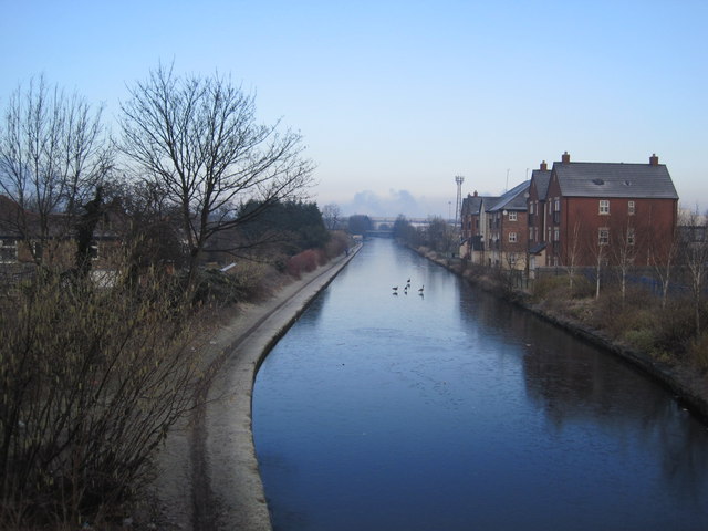
Image: © Paddy Griffin Taken: 17 Feb 2010
A cold morning in South Manchester as the Bridgewater Canal passes under the A56. The footpath on the left forms part of the Cheshire Ring Walk.
Images are licensed for reuse under creativecommons.org/licenses/by-sa/2.0
Image Location
Latitude
53.454066
Longitude
-2.304903