Sandfields at Bromesberrow Heath - 2
Introduction
The photograph on this page of Sandfields at Bromesberrow Heath - 2 by Trevor Rickard as part of the Geograph project.
The Geograph project started in 2005 with the aim of publishing, organising and preserving representative images for every square kilometre of Great Britain, Ireland and the Isle of Man.

There are currently over 7.5m images from over 14,400 individuals and you can help contribute to the project by visiting https://www.geograph.org.uk
Sandfields at Bromesberrow Heath - 2
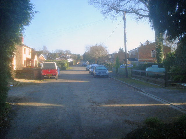
Image: © Trevor Rickard Taken: 1 Jan 2010
Looking east along Sandfields, a residential street off the main village street, but next to the motorway, which runs behind the houses on the right.
Images are licensed for reuse under creativecommons.org/licenses/by-sa/2.0
Image Location
Latitude
51.994271
Longitude
-2.386781