Studland : Ancient Saxon Cross Location
Introduction
The photograph on this page of Studland : Ancient Saxon Cross Location by Lewis Clarke as part of the Geograph project.
The Geograph project started in 2005 with the aim of publishing, organising and preserving representative images for every square kilometre of Great Britain, Ireland and the Isle of Man.

There are currently over 7.5m images from over 14,400 individuals and you can help contribute to the project by visiting https://www.geograph.org.uk
Studland : Ancient Saxon Cross Location
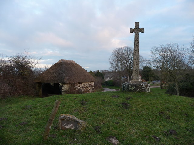
Image: © Lewis Clarke Taken: 12 Feb 2010
This isn't the ancient Saxon cross, but it was placed here in 1978 on the site of an ancient Saxon cross.
Images are licensed for reuse under creativecommons.org/licenses/by-sa/2.0
Image Location
Latitude
50.641153
Longitude
-1.949927