Buckminster Old House, Billingborough
Introduction
The photograph on this page of Buckminster Old House, Billingborough by Peter Langsdale as part of the Geograph project.
The Geograph project started in 2005 with the aim of publishing, organising and preserving representative images for every square kilometre of Great Britain, Ireland and the Isle of Man.

There are currently over 7.5m images from over 14,400 individuals and you can help contribute to the project by visiting https://www.geograph.org.uk
Buckminster Old House, Billingborough
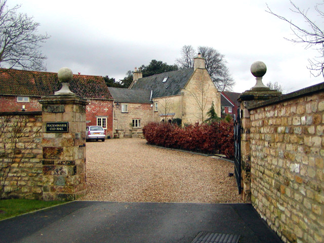
Image: © Peter Langsdale Taken: Unknown
This was just called "Buckminster House" in 1955 when I lived there, in the then children's home. Where the red bushes are on the right was our playground, a sandy area where I practised the high jump, among other things. At a guess, there were about 30 children, and a staff of perhaps 10.
Images are licensed for reuse under creativecommons.org/licenses/by-sa/2.0
Image Location
Latitude
52.891857
Longitude
-0.341154