Alderney: track across Bourne Bottom
Introduction
The photograph on this page of Alderney: track across Bourne Bottom by Chris Downer as part of the Geograph project.
The Geograph project started in 2005 with the aim of publishing, organising and preserving representative images for every square kilometre of Great Britain, Ireland and the Isle of Man.

There are currently over 7.5m images from over 14,400 individuals and you can help contribute to the project by visiting https://www.geograph.org.uk
Alderney: track across Bourne Bottom
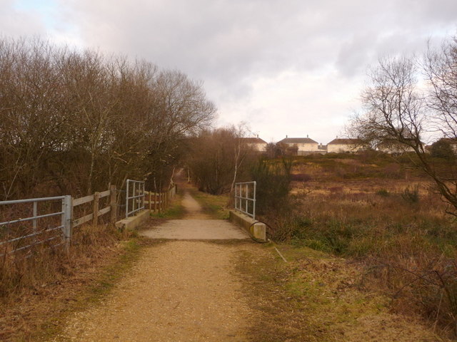
Image: © Chris Downer Taken: 14 Feb 2010
This track links St. Brelade's Avenue in the south, to Benbow Crescent in the north, across Image The Bourne stream goes under the concrete bridge just ahead of us.
Images are licensed for reuse under creativecommons.org/licenses/by-sa/2.0
Image Location
Latitude
50.748191
Longitude
-1.927801