Cycle Path
Introduction
The photograph on this page of Cycle Path by Ant Basterfield as part of the Geograph project.
The Geograph project started in 2005 with the aim of publishing, organising and preserving representative images for every square kilometre of Great Britain, Ireland and the Isle of Man.

There are currently over 7.5m images from over 14,400 individuals and you can help contribute to the project by visiting https://www.geograph.org.uk
Cycle Path
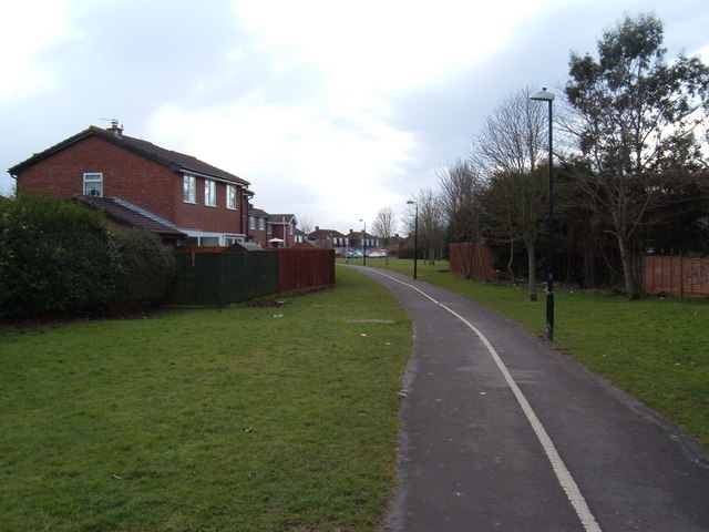
Image: © Ant Basterfield Taken: 16 Feb 2010
Here is the Cycle path (taken at the junction of the northern end of Chesham road south) that carries on towards Weston Super Mare centre using the old Weston to Clevedon railway route that became disused in about 1940.
Images are licensed for reuse under creativecommons.org/licenses/by-sa/2.0
Image Location
Latitude
51.350133
Longitude
-2.953405