Farmland around Blaenplwyf
Introduction
The photograph on this page of Farmland around Blaenplwyf by Nigel Brown as part of the Geograph project.
The Geograph project started in 2005 with the aim of publishing, organising and preserving representative images for every square kilometre of Great Britain, Ireland and the Isle of Man.

There are currently over 7.5m images from over 14,400 individuals and you can help contribute to the project by visiting https://www.geograph.org.uk
Farmland around Blaenplwyf
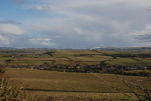
Image: © Nigel Brown Taken: 16 Feb 2010
Typical of the good farmland for which rural south Ceredigion is noted.
Images are licensed for reuse under creativecommons.org/licenses/by-sa/2.0
Image Location
Latitude
52.360121
Longitude
-4.090519