Heol Abergwili / Abergwili Road
Introduction
The photograph on this page of Heol Abergwili / Abergwili Road by Alan Harris as part of the Geograph project.
The Geograph project started in 2005 with the aim of publishing, organising and preserving representative images for every square kilometre of Great Britain, Ireland and the Isle of Man.

There are currently over 7.5m images from over 14,400 individuals and you can help contribute to the project by visiting https://www.geograph.org.uk
Heol Abergwili / Abergwili Road
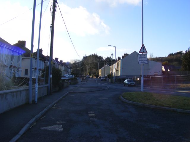
Image: © Alan Harris Taken: 16 Feb 2010
View of Abergwili Road, Carmarthen, looking towards the Tanerdy Roundabout. To the left is the entrance to the footpath alongside the A40(T) towards Parc Hinds, Carmarthen.
Images are licensed for reuse under creativecommons.org/licenses/by-sa/2.0
Image Location


Leaflet Map data © OpenStreetMap
Latitude
51.865637
Longitude
-4.284656