Footpath to Hayne Barton
Introduction
The photograph on this page of Footpath to Hayne Barton by Philip Halling as part of the Geograph project.
The Geograph project started in 2005 with the aim of publishing, organising and preserving representative images for every square kilometre of Great Britain, Ireland and the Isle of Man.

There are currently over 7.5m images from over 14,400 individuals and you can help contribute to the project by visiting https://www.geograph.org.uk
Footpath to Hayne Barton
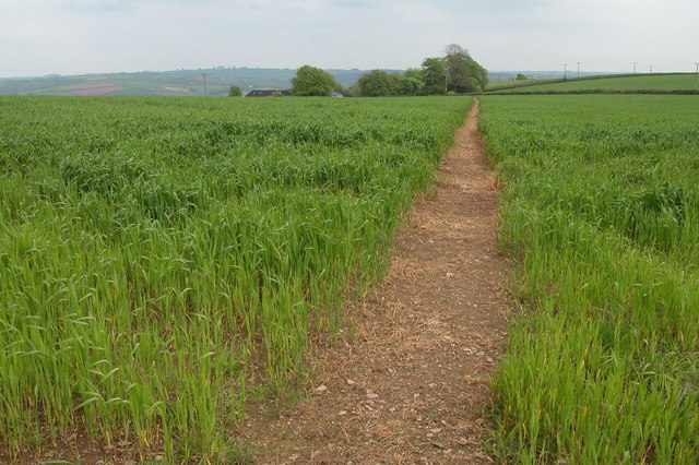
Image: © Philip Halling Taken: 14 May 2006
The footpath passes through this field from the village of Burrington to a farm at Hayne Barton.
Images are licensed for reuse under creativecommons.org/licenses/by-sa/2.0
Image Location
Latitude
50.932239
Longitude
-3.936165