Beddgelert : Stryd Smith
Introduction
The photograph on this page of Beddgelert : Stryd Smith by Ken Bagnall as part of the Geograph project.
The Geograph project started in 2005 with the aim of publishing, organising and preserving representative images for every square kilometre of Great Britain, Ireland and the Isle of Man.

There are currently over 7.5m images from over 14,400 individuals and you can help contribute to the project by visiting https://www.geograph.org.uk
Beddgelert : Stryd Smith
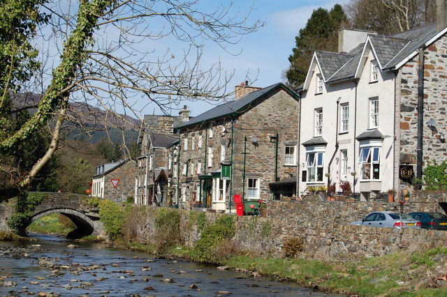
Image: © Ken Bagnall Taken: 13 Apr 2009
The Afon Colwyn flows through the centre of Beddgelert. On the north bank, Stryd Smith is the main road leading to Nantgwynant and the southern flanks of Yr Wyddfa/Snowdon
Images are licensed for reuse under creativecommons.org/licenses/by-sa/2.0
Image Location
Latitude
53.011966
Longitude
-4.101773