ORPA through Selworthy Farm
Introduction
The photograph on this page of ORPA through Selworthy Farm by Phil Champion as part of the Geograph project.
The Geograph project started in 2005 with the aim of publishing, organising and preserving representative images for every square kilometre of Great Britain, Ireland and the Isle of Man.

There are currently over 7.5m images from over 14,400 individuals and you can help contribute to the project by visiting https://www.geograph.org.uk
ORPA through Selworthy Farm
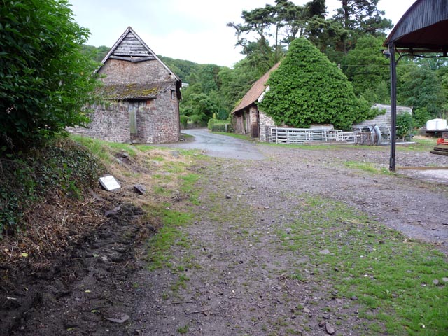
Image: © Phil Champion Taken: 14 Jul 2009
A narrow unsurfaced lane leads to Selworthy from Allerford. At the Selworthy end the lane passes through a farm.
Images are licensed for reuse under creativecommons.org/licenses/by-sa/2.0
Image Location
Latitude
51.208287
Longitude
-3.553164