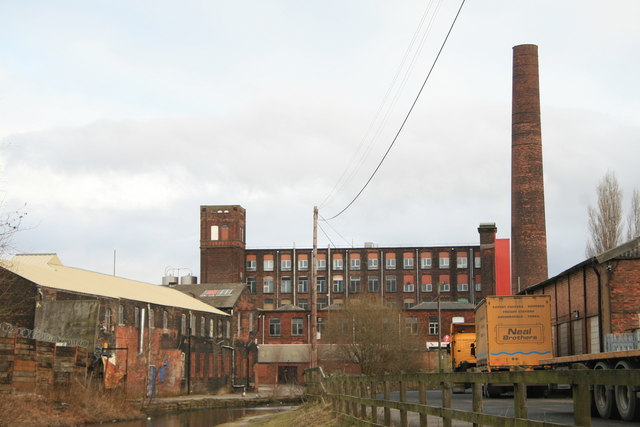
Clarence Mill, Stalybridge
Introduction
The photograph on this page of Clarence Mill, Stalybridge by Chris Allen as part of the Geograph project.
The Geograph project started in 2005 with the aim of publishing, organising and preserving representative images for every square kilometre of Great Britain, Ireland and the Isle of Man.
There are currently over 7.5m images from over 14,400 individuals and you can help contribute to the project by visiting https://www.geograph.org.uk

Image: © Chris Allen Taken: 13 Feb 2010
Built during the cotton famine between 1862 and 1864 it wasn't equipped until 1871. The mill closed in 1960 and is now in multiple occupancy with the main block home to the Stamford Group. The chimney was once one of the tallest in the region and now serves no purpose. The red cladding to the mill's end is striking - but is it aesthetically pleasing?

