Buckfastleigh Church
Introduction
The photograph on this page of Buckfastleigh Church by Richard Knights as part of the Geograph project.
The Geograph project started in 2005 with the aim of publishing, organising and preserving representative images for every square kilometre of Great Britain, Ireland and the Isle of Man.

There are currently over 7.5m images from over 14,400 individuals and you can help contribute to the project by visiting https://www.geograph.org.uk
Buckfastleigh Church
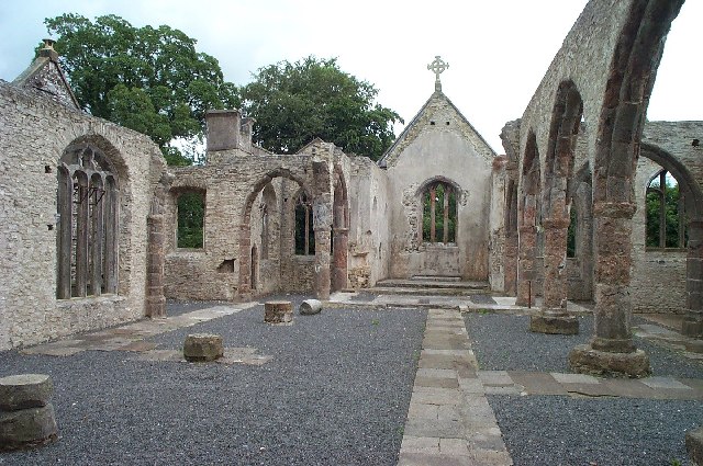
Image: © Richard Knights Taken: Unknown
This hilltop and isolated church was successfully destroyed by an arson attack in July 1992. Many say it was fired by witches. Certainly the church had an intense and lonely atmosphere - not least because it houses the grave of Richard Cabell, a hated and feared wicked landowner of the 17th century.
Images are licensed for reuse under creativecommons.org/licenses/by-sa/2.0
Image Location


Leaflet Map data © OpenStreetMap
Latitude
50.484835
Longitude
-3.770365