Crossroads south west of Zelah
Introduction
The photograph on this page of Crossroads south west of Zelah by Rod Allday as part of the Geograph project.
The Geograph project started in 2005 with the aim of publishing, organising and preserving representative images for every square kilometre of Great Britain, Ireland and the Isle of Man.

There are currently over 7.5m images from over 14,400 individuals and you can help contribute to the project by visiting https://www.geograph.org.uk
Crossroads south west of Zelah
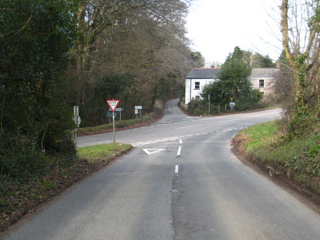
Image: © Rod Allday Taken: 12 Feb 2010
The road running across the picture used to be the A30 but since Zelah was by-passed this now runs behind the photographer position.
Images are licensed for reuse under creativecommons.org/licenses/by-sa/2.0
Image Location
Latitude
50.319243
Longitude
-5.084211