The Black Brook
Introduction
The photograph on this page of The Black Brook by Derek Harper as part of the Geograph project.
The Geograph project started in 2005 with the aim of publishing, organising and preserving representative images for every square kilometre of Great Britain, Ireland and the Isle of Man.

There are currently over 7.5m images from over 14,400 individuals and you can help contribute to the project by visiting https://www.geograph.org.uk
The Black Brook
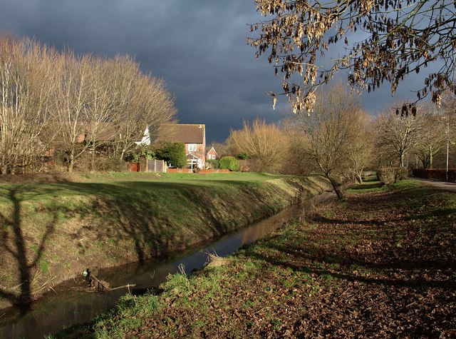
Image: © Derek Harper Taken: 9 Feb 2010
The brook flows through the Blackbrook Open Space, an important wildlife corridor through the large housing estate in south-east Taunton.
Images are licensed for reuse under creativecommons.org/licenses/by-sa/2.0
Image Location
Latitude
51.014494
Longitude
-3.073094