Cycle Paths
Introduction
The photograph on this page of Cycle Paths by Ant Basterfield as part of the Geograph project.
The Geograph project started in 2005 with the aim of publishing, organising and preserving representative images for every square kilometre of Great Britain, Ireland and the Isle of Man.

There are currently over 7.5m images from over 14,400 individuals and you can help contribute to the project by visiting https://www.geograph.org.uk
Cycle Paths
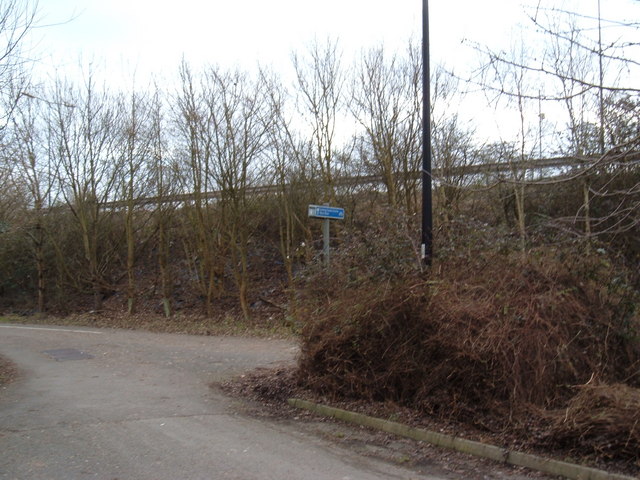
Image: © Ant Basterfield Taken: 14 Feb 2010
Here on the South eastern side of the main railway line is where two cycle paths meet. One from Worle to Banwell and one from Milton. As you can see this section runs along the side of the A370, note the crash barrier.
Images are licensed for reuse under creativecommons.org/licenses/by-sa/2.0
Image Location
Latitude
51.34515
Longitude
-2.935785