Path from Gasthorpe to the A1066 road
Introduction
The photograph on this page of Path from Gasthorpe to the A1066 road by Evelyn Simak as part of the Geograph project.
The Geograph project started in 2005 with the aim of publishing, organising and preserving representative images for every square kilometre of Great Britain, Ireland and the Isle of Man.

There are currently over 7.5m images from over 14,400 individuals and you can help contribute to the project by visiting https://www.geograph.org.uk
Path from Gasthorpe to the A1066 road
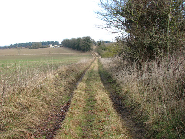
Image: © Evelyn Simak Taken: 14 Feb 2010
The path ends by the houses seen in the distance, located beside the A1066 road. It leads past the ruins of St Nicholas' church > http://www.geograph.org.uk/photo/1709962.
Images are licensed for reuse under creativecommons.org/licenses/by-sa/2.0
Image Location
Latitude
52.397816
Longitude
0.913844