The old A31
Introduction
The photograph on this page of The old A31 by George Duncan as part of the Geograph project.
The Geograph project started in 2005 with the aim of publishing, organising and preserving representative images for every square kilometre of Great Britain, Ireland and the Isle of Man.

There are currently over 7.5m images from over 14,400 individuals and you can help contribute to the project by visiting https://www.geograph.org.uk
The old A31
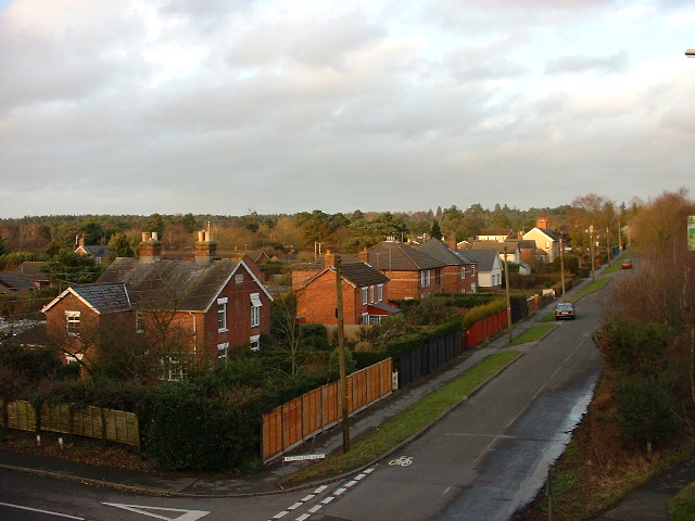
Image: © George Duncan Taken: 15 Feb 2010
A picture of the village of St Ives in Dorset. This is a picture taken from the footbridge over the new A31 (Built in late 60's so not that new) of the old A31 now called the service road, and the village of St Ives. This is the junction of the Ringwood Road Service Road and St Ives End Lane.
Images are licensed for reuse under creativecommons.org/licenses/by-sa/2.0
Image Location
Latitude
50.833157
Longitude
-1.828839