Sturdy House Farm
Introduction
The photograph on this page of Sturdy House Farm by Philip Barker as part of the Geograph project.
The Geograph project started in 2005 with the aim of publishing, organising and preserving representative images for every square kilometre of Great Britain, Ireland and the Isle of Man.

There are currently over 7.5m images from over 14,400 individuals and you can help contribute to the project by visiting https://www.geograph.org.uk
Sturdy House Farm
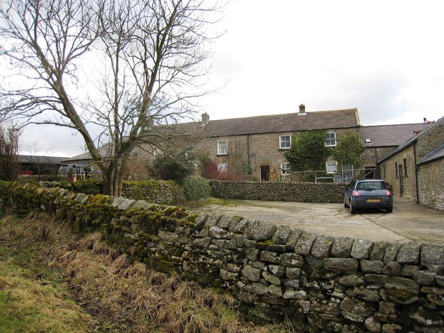
Image: © Philip Barker Taken: 14 Feb 2010
This photograph shows a view of Sturdy House Farm. The farm is located on the minor road that runs over High Moor from Whashton Green. The picture was taken from the road looking in a westerly direction towards Feldom Ranges.
Images are licensed for reuse under creativecommons.org/licenses/by-sa/2.0
Image Location
Latitude
54.440592
Longitude
-1.792742