Efailwen, southern end
Introduction
The photograph on this page of Efailwen, southern end by Natasha Ceridwen de Chroustchoff as part of the Geograph project.
The Geograph project started in 2005 with the aim of publishing, organising and preserving representative images for every square kilometre of Great Britain, Ireland and the Isle of Man.

There are currently over 7.5m images from over 14,400 individuals and you can help contribute to the project by visiting https://www.geograph.org.uk
Efailwen, southern end
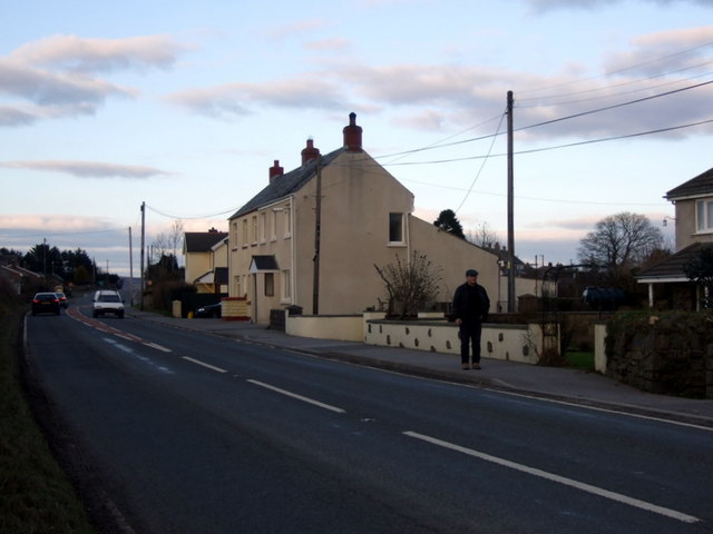
Image: © Natasha Ceridwen de Chroustchoff Taken: 9 Feb 2010
A roadside settlement with little to catch the eye of the motorized passer-by, nevertheless there was once a tollgate at this spot that 1839 was twice destroyed by local protesters who, under the name of Rebecca, employed direct action to deal with a system of road taxation that threatened their livelihoods. Much of the present housing in Efailwen is C20th, the original simple dwellings having presumably not lasted too well.
Images are licensed for reuse under creativecommons.org/licenses/by-sa/2.0
Image Location
Latitude
51.894215
Longitude
-4.713004