Bund, Bubbenhall Quarry, Glebe Farm site
Introduction
The photograph on this page of Bund, Bubbenhall Quarry, Glebe Farm site by Robin Stott as part of the Geograph project.
The Geograph project started in 2005 with the aim of publishing, organising and preserving representative images for every square kilometre of Great Britain, Ireland and the Isle of Man.

There are currently over 7.5m images from over 14,400 individuals and you can help contribute to the project by visiting https://www.geograph.org.uk
Bund, Bubbenhall Quarry, Glebe Farm site
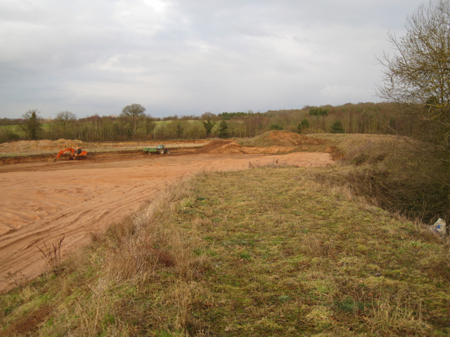
Image: © Robin Stott Taken: 14 Feb 2010
Estimated to be 3-4 metres high. The north side of Bubbenhall Wood is on the right.
Images are licensed for reuse under creativecommons.org/licenses/by-sa/2.0
Image Location
Latitude
52.343947
Longitude
-1.461239