Barn conversion, Thornton le Clay
Introduction
The photograph on this page of Barn conversion, Thornton le Clay by Gordon Hatton as part of the Geograph project.
The Geograph project started in 2005 with the aim of publishing, organising and preserving representative images for every square kilometre of Great Britain, Ireland and the Isle of Man.

There are currently over 7.5m images from over 14,400 individuals and you can help contribute to the project by visiting https://www.geograph.org.uk
Barn conversion, Thornton le Clay
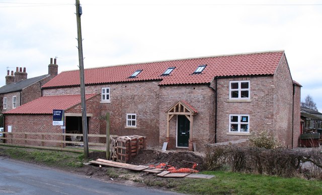
Image: © Gordon Hatton Taken: 8 Feb 2010
At first this looks like a new build, but the old brickwork gives it away as a barn conversion, almost completed and up for sale.
Images are licensed for reuse under creativecommons.org/licenses/by-sa/2.0
Image Location
Latitude
54.07783
Longitude
-0.955917