Wall, The Nower
Introduction
The photograph on this page of Wall, The Nower by Hugh Craddock as part of the Geograph project.
The Geograph project started in 2005 with the aim of publishing, organising and preserving representative images for every square kilometre of Great Britain, Ireland and the Isle of Man.

There are currently over 7.5m images from over 14,400 individuals and you can help contribute to the project by visiting https://www.geograph.org.uk
Wall, The Nower
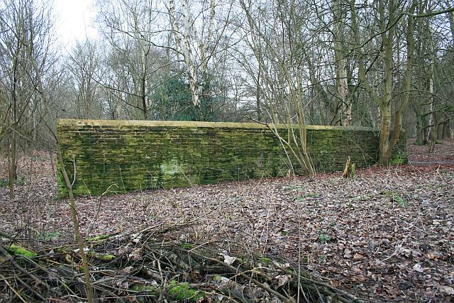
Image: © Hugh Craddock Taken: 7 Feb 2010
This short, isolated stretch of well-built wall on the Nower serves no obvious purpose, and is a bit of a puzzle. It can be found just to the east of public bridleway Dorking 170.
Images are licensed for reuse under creativecommons.org/licenses/by-sa/2.0
Image Location
Latitude
51.225876
Longitude
-0.351622