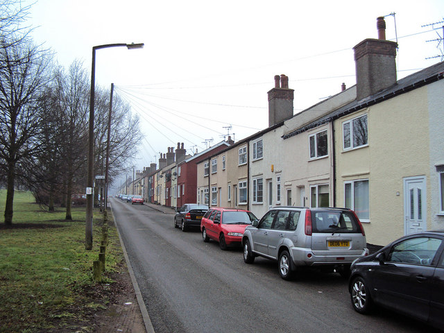
Annesley Village
Introduction
The photograph on this page of Annesley Village by Trevor Rickard as part of the Geograph project.
The Geograph project started in 2005 with the aim of publishing, organising and preserving representative images for every square kilometre of Great Britain, Ireland and the Isle of Man.
There are currently over 7.5m images from over 14,400 individuals and you can help contribute to the project by visiting https://www.geograph.org.uk

Image: © Trevor Rickard Taken: 6 Feb 2010
Looking south along Byron Road. This road and the parallel Moseley Road on the other side of the green form the main part of Annesley Village. The new village was built by the Annesley Colliery Company in 1860 for its employees when the company sunk the two nearby Annesley mine shafts - Image The layout is spacious, allowing plenty of land for vegetable plots, and was seen as progressive for its day. During 1999 the district council recognised the importance of Annesley Village and colliery pit head by including it as a conservation area. This appeared to provide a measure of protection to the colliery buildings, but as can be seen this proved not to be the case - see Image and Image http://www.forlornbritain.co.uk/annesley.php

