Tyn Y Bedw
Introduction
The photograph on this page of Tyn Y Bedw by Derek Cummings as part of the Geograph project.
The Geograph project started in 2005 with the aim of publishing, organising and preserving representative images for every square kilometre of Great Britain, Ireland and the Isle of Man.

There are currently over 7.5m images from over 14,400 individuals and you can help contribute to the project by visiting https://www.geograph.org.uk
Tyn Y Bedw
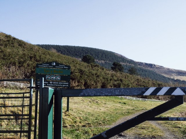
Image: © Derek Cummings Taken: 14 Feb 2010
The start of a walk taking you through a scenic walk with wonderful views. If you have the energy you can walk to a peak about 481 metres above sea level. This site is reclaimed land from British Coal.
Images are licensed for reuse under creativecommons.org/licenses/by-sa/2.0
Image Location
Latitude
51.657724
Longitude
-3.497644