Tinsley Wire (Betafence)
Introduction
The photograph on this page of Tinsley Wire (Betafence) by David Lally as part of the Geograph project.
The Geograph project started in 2005 with the aim of publishing, organising and preserving representative images for every square kilometre of Great Britain, Ireland and the Isle of Man.

There are currently over 7.5m images from over 14,400 individuals and you can help contribute to the project by visiting https://www.geograph.org.uk
Tinsley Wire (Betafence)
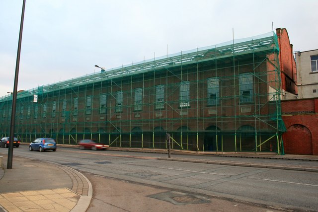
Image: © David Lally Taken: 13 Feb 2010
The oldest building on the site with its frontage along Sheffield road is now gutted, with no roof or internal floors. It is still unclear if this is to be demolished like the rest of the buildings, or refurbished for other use. See also Image
Images are licensed for reuse under creativecommons.org/licenses/by-sa/2.0
Image Location
Latitude
53.408238
Longitude
-1.410135