Sandyhills Golf Club - Clubhouse
Introduction
The photograph on this page of Sandyhills Golf Club - Clubhouse by G Laird as part of the Geograph project.
The Geograph project started in 2005 with the aim of publishing, organising and preserving representative images for every square kilometre of Great Britain, Ireland and the Isle of Man.

There are currently over 7.5m images from over 14,400 individuals and you can help contribute to the project by visiting https://www.geograph.org.uk
Sandyhills Golf Club - Clubhouse
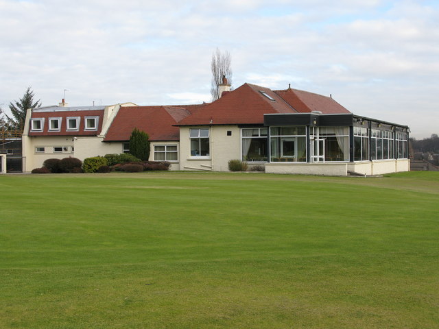
Image: © G Laird Taken: 13 Feb 2010
The course was founded in 1905 on the lands of Sandyhills, Shettleston. The clubhouse and the course were officially opened on Saturday 5th May 1906.
Images are licensed for reuse under creativecommons.org/licenses/by-sa/2.0
Image Location
Latitude
55.84535
Longitude
-4.150165