St Brides Ring
Introduction
The photograph on this page of St Brides Ring by Karen Vernon as part of the Geograph project.
The Geograph project started in 2005 with the aim of publishing, organising and preserving representative images for every square kilometre of Great Britain, Ireland and the Isle of Man.

There are currently over 7.5m images from over 14,400 individuals and you can help contribute to the project by visiting https://www.geograph.org.uk
St Brides Ring
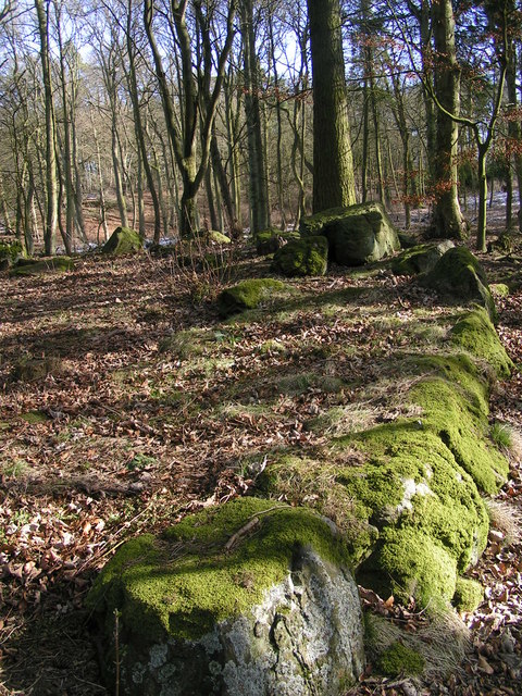
Image: © Karen Vernon Taken: 6 Mar 2006
St Bride's ring is a hillfort, classified as a broch by some authorities, although it lacks the structural details of this type of monument. It is comparable with the ring forts of central Perthshire.
Images are licensed for reuse under creativecommons.org/licenses/by-sa/2.0
Image Location


Leaflet Map data © OpenStreetMap
Latitude
56.506808
Longitude
-2.856192