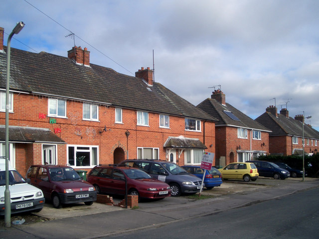
Clapcot Way
Introduction
The photograph on this page of Clapcot Way by Des Blenkinsopp as part of the Geograph project.
The Geograph project started in 2005 with the aim of publishing, organising and preserving representative images for every square kilometre of Great Britain, Ireland and the Isle of Man.
There are currently over 7.5m images from over 14,400 individuals and you can help contribute to the project by visiting https://www.geograph.org.uk

Image: © Des Blenkinsopp Taken: 29 Jan 2010
Away from the historic town centre, a lot of Wallingford is much like anywhere else. The town stayed within its ancient boundaries for centuries before sprawling out post WW2 into the surrounding fields. This is Clapcot Way, a name which harks back to one of the old parishes that occupied the surrounding area in days gone by. http://www.british-history.ac.uk/report.aspx?compid=43259 The rest of the street is much the same as this. I just liked the Ho Ho Ho house.

