Southbank Road and Lavender Avenue, North East
Introduction
The photograph on this page of Southbank Road and Lavender Avenue, North East by Anthony Vosper as part of the Geograph project.
The Geograph project started in 2005 with the aim of publishing, organising and preserving representative images for every square kilometre of Great Britain, Ireland and the Isle of Man.

There are currently over 7.5m images from over 14,400 individuals and you can help contribute to the project by visiting https://www.geograph.org.uk
Southbank Road and Lavender Avenue, North East
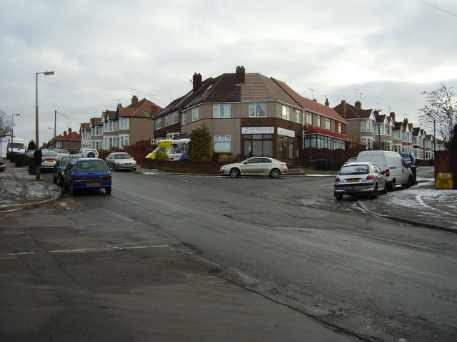
Image: © Anthony Vosper Taken: 11 Feb 2010
Once a busy crossroads with thriving shops on each corner. The Ice Cream van may be a clue as to what the owners of the shops now do.
Images are licensed for reuse under creativecommons.org/licenses/by-sa/2.0
Image Location
Latitude
52.417733
Longitude
-1.540769