Carlisle Enterprise Centre
Introduction
The photograph on this page of Carlisle Enterprise Centre by Tom Howe as part of the Geograph project.
The Geograph project started in 2005 with the aim of publishing, organising and preserving representative images for every square kilometre of Great Britain, Ireland and the Isle of Man.

There are currently over 7.5m images from over 14,400 individuals and you can help contribute to the project by visiting https://www.geograph.org.uk
Carlisle Enterprise Centre
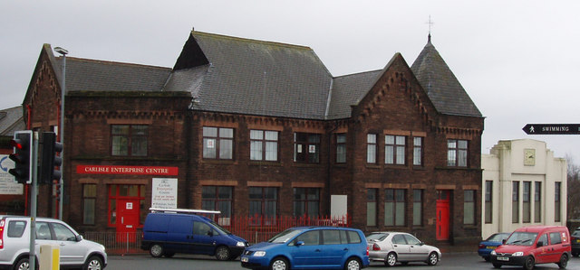
Image: © Tom Howe Taken: 12 Feb 2010
Formerly a Unitarian Chapel this is now part of Carlisle Enterprise Centre on Victoria Viaduct
Images are licensed for reuse under creativecommons.org/licenses/by-sa/2.0
Image Location
Latitude
54.889731
Longitude
-2.935821