The Brooklands, Kingsbury Road
Introduction
The photograph on this page of The Brooklands, Kingsbury Road by Anthony Vosper as part of the Geograph project.
The Geograph project started in 2005 with the aim of publishing, organising and preserving representative images for every square kilometre of Great Britain, Ireland and the Isle of Man.

There are currently over 7.5m images from over 14,400 individuals and you can help contribute to the project by visiting https://www.geograph.org.uk
The Brooklands, Kingsbury Road
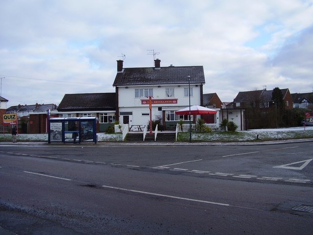
Image: © Anthony Vosper Taken: 11 Feb 2010
Situated on what must be the widest crossroads in the area.
Images are licensed for reuse under creativecommons.org/licenses/by-sa/2.0
Image Location
Latitude
52.421978
Longitude
-1.545872