The Green Triangle
Introduction
The photograph on this page of The Green Triangle by Anthony Vosper as part of the Geograph project.
The Geograph project started in 2005 with the aim of publishing, organising and preserving representative images for every square kilometre of Great Britain, Ireland and the Isle of Man.

There are currently over 7.5m images from over 14,400 individuals and you can help contribute to the project by visiting https://www.geograph.org.uk
The Green Triangle
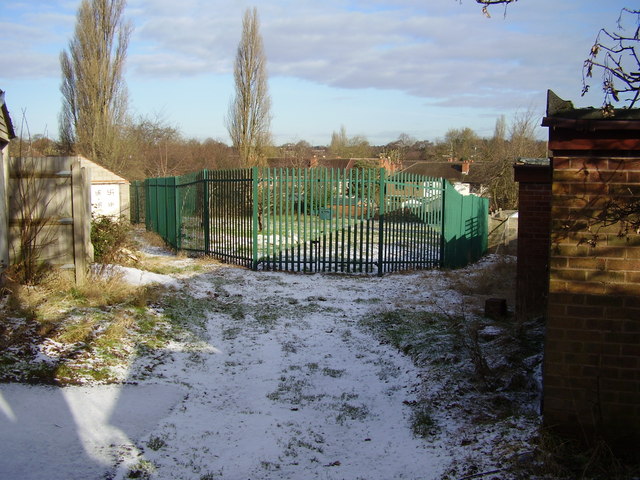
Image: © Anthony Vosper Taken: 11 Feb 2010
Surrounded by Dulverton Avenue, Westbury and Leyland Roads. This area was originally given over to allotments. Back in the early '60s the local children would build a huge bonfire for November 5th almost on the site the photograph was taken from.
Images are licensed for reuse under creativecommons.org/licenses/by-sa/2.0
Image Location
Latitude
52.416598
Longitude
-1.549603