Farm track near Stoneley Green, Cheshire
Introduction
The photograph on this page of Farm track near Stoneley Green, Cheshire by Roger D Kidd as part of the Geograph project.
The Geograph project started in 2005 with the aim of publishing, organising and preserving representative images for every square kilometre of Great Britain, Ireland and the Isle of Man.

There are currently over 7.5m images from over 14,400 individuals and you can help contribute to the project by visiting https://www.geograph.org.uk
Farm track near Stoneley Green, Cheshire
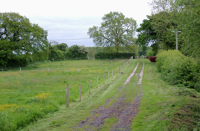
Image: © Roger D Kidd Taken: 22 May 2009
Seen from Stoneley Green Bridge, this track is also a public footpath which crosses fields between Springe Lane and Stoneley Green.
Images are licensed for reuse under creativecommons.org/licenses/by-sa/2.0
Image Location
Latitude
53.062755
Longitude
-2.578668