The Avon and The Portway
Introduction
The photograph on this page of The Avon and The Portway by Peter Barr as part of the Geograph project.
The Geograph project started in 2005 with the aim of publishing, organising and preserving representative images for every square kilometre of Great Britain, Ireland and the Isle of Man.

There are currently over 7.5m images from over 14,400 individuals and you can help contribute to the project by visiting https://www.geograph.org.uk
The Avon and The Portway
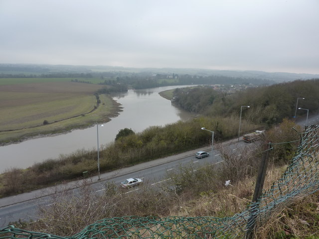
Image: © Peter Barr Taken: 6 Feb 2010
View from footpath along the edge of the Shirehampton Golf Course. The Old Powder Store Image can be seen on the right bank at the wood/ field boundary
Images are licensed for reuse under creativecommons.org/licenses/by-sa/2.0
Image Location
Latitude
51.485553
Longitude
-2.666749