All Saints Church
Introduction
The photograph on this page of All Saints Church by Trevor Rickard as part of the Geograph project.
The Geograph project started in 2005 with the aim of publishing, organising and preserving representative images for every square kilometre of Great Britain, Ireland and the Isle of Man.

There are currently over 7.5m images from over 14,400 individuals and you can help contribute to the project by visiting https://www.geograph.org.uk
All Saints Church
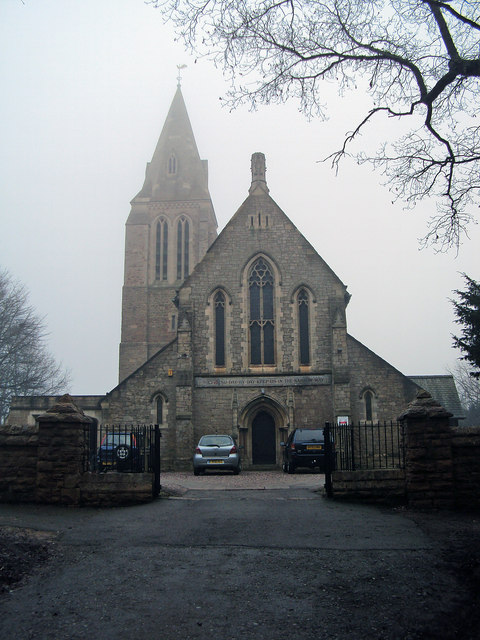
Image: © Trevor Rickard Taken: 6 Feb 2010
The church was erected in 1874 when the centre of population of the parish moved with the sinking of Annesley colliery in 1869. The old church a mile to the south-west near Annesley Hall is now a ruin. http://www.ashfield-dc.gov.uk/ccm/navigation/community-and-living/faiths--beliefs-and-religions/annesley-all-saints-church/;jsessionid=D3CB30B94F96918EBFC5606AEC35C741
Images are licensed for reuse under creativecommons.org/licenses/by-sa/2.0
Image Location
Latitude
53.077278
Longitude
-1.238226