Hearn Vale at Headley
Introduction
The photograph on this page of Hearn Vale at Headley by Shazz as part of the Geograph project.
The Geograph project started in 2005 with the aim of publishing, organising and preserving representative images for every square kilometre of Great Britain, Ireland and the Isle of Man.

There are currently over 7.5m images from over 14,400 individuals and you can help contribute to the project by visiting https://www.geograph.org.uk
Hearn Vale at Headley
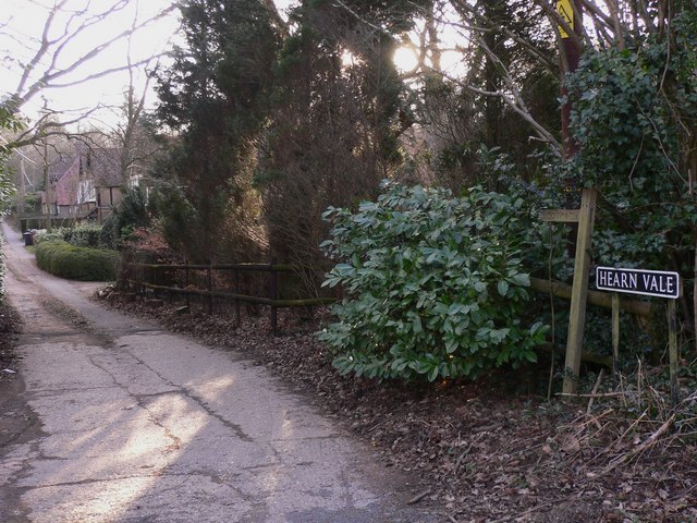
Image: © Shazz Taken: 11 Feb 2010
Hearn Vale is a footpath of about half a mile from Churt Road in the east to Barley Mow Hill in the west.
Images are licensed for reuse under creativecommons.org/licenses/by-sa/2.0
Image Location
Latitude
51.128026
Longitude
-0.810421