Farm road near Arford
Introduction
The photograph on this page of Farm road near Arford by Shazz as part of the Geograph project.
The Geograph project started in 2005 with the aim of publishing, organising and preserving representative images for every square kilometre of Great Britain, Ireland and the Isle of Man.

There are currently over 7.5m images from over 14,400 individuals and you can help contribute to the project by visiting https://www.geograph.org.uk
Farm road near Arford
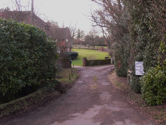
Image: © Shazz Taken: 10 Feb 2010
The road goes to Linsted (shown as Linstead on Get-a-Map) and Headley Wood Farms.
Images are licensed for reuse under creativecommons.org/licenses/by-sa/2.0
Image Location


Leaflet Map data © OpenStreetMap
Latitude
51.127235
Longitude
-0.830019