Towards Trerulefoot
Introduction
The photograph on this page of Towards Trerulefoot by Tony Atkin as part of the Geograph project.
The Geograph project started in 2005 with the aim of publishing, organising and preserving representative images for every square kilometre of Great Britain, Ireland and the Isle of Man.

There are currently over 7.5m images from over 14,400 individuals and you can help contribute to the project by visiting https://www.geograph.org.uk
Towards Trerulefoot
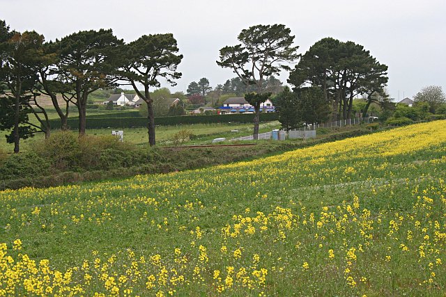
Image: © Tony Atkin Taken: 13 May 2006
Looking across a field of oilseed rape, railway line, pine trees and one of the roads which meet at Trerulefoot junction.
Images are licensed for reuse under creativecommons.org/licenses/by-sa/2.0
Image Location
Latitude
50.405312
Longitude
-4.350036