Kiln Lane
Introduction
The photograph on this page of Kiln Lane by David Dixon as part of the Geograph project.
The Geograph project started in 2005 with the aim of publishing, organising and preserving representative images for every square kilometre of Great Britain, Ireland and the Isle of Man.

There are currently over 7.5m images from over 14,400 individuals and you can help contribute to the project by visiting https://www.geograph.org.uk
Kiln Lane
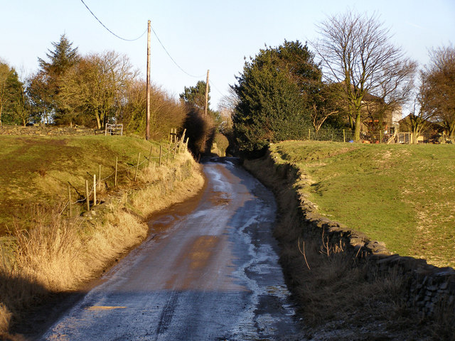
Image: © David Dixon Taken: 11 Feb 2010
The Lane narrows to little more than a track as it approaches Flash House Farm and Ashacre.
Images are licensed for reuse under creativecommons.org/licenses/by-sa/2.0
Image Location
Latitude
53.61535
Longitude
-2.100379