Fields above Broad Moor
Introduction
The photograph on this page of Fields above Broad Moor by Derek Harper as part of the Geograph project.
The Geograph project started in 2005 with the aim of publishing, organising and preserving representative images for every square kilometre of Great Britain, Ireland and the Isle of Man.

There are currently over 7.5m images from over 14,400 individuals and you can help contribute to the project by visiting https://www.geograph.org.uk
Fields above Broad Moor
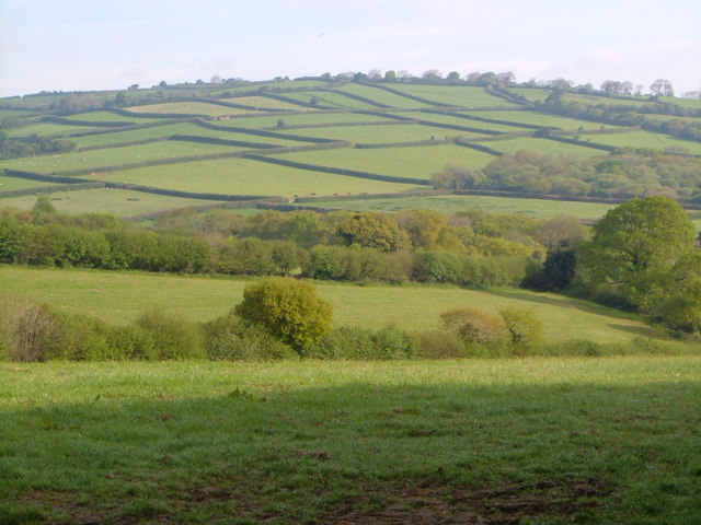
Image: © Derek Harper Taken: 14 May 2006
The layout of fields and hedges between Broad Moor and Aish Ridge begins to take on an unreal quality. Seen from the Pennaton-Cheston lane.
Images are licensed for reuse under creativecommons.org/licenses/by-sa/2.0
Image Location
Latitude
50.424127
Longitude
-3.856794