Odger Street, Battersea
Introduction
The photograph on this page of Odger Street, Battersea by Derek Harper as part of the Geograph project.
The Geograph project started in 2005 with the aim of publishing, organising and preserving representative images for every square kilometre of Great Britain, Ireland and the Isle of Man.

There are currently over 7.5m images from over 14,400 individuals and you can help contribute to the project by visiting https://www.geograph.org.uk
Odger Street, Battersea
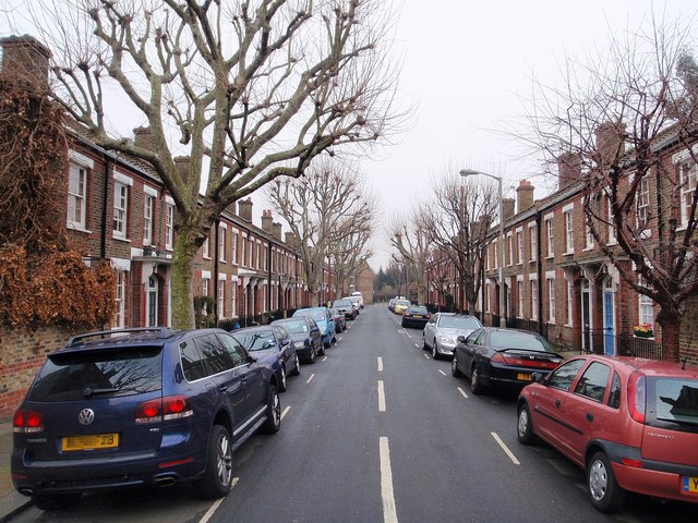
Image: © Derek Harper Taken: 6 Feb 2010
See Image; this is the central of the five parallel roads south of Burns Road. The uniformity is striking. The Latchmere Estate Conservation Area was designated in 1974.
Images are licensed for reuse under creativecommons.org/licenses/by-sa/2.0
Image Location
Latitude
51.471245
Longitude
-0.16166