View down Beechwood Park
Introduction
The photograph on this page of View down Beechwood Park by Jaggery as part of the Geograph project.
The Geograph project started in 2005 with the aim of publishing, organising and preserving representative images for every square kilometre of Great Britain, Ireland and the Isle of Man.

There are currently over 7.5m images from over 14,400 individuals and you can help contribute to the project by visiting https://www.geograph.org.uk
View down Beechwood Park
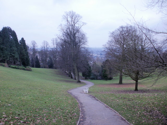
Image: © Jaggery Taken: 7 Feb 2010
Beechwood Park occupies 30 acres of hillside between Chepstow Road at the bottom of the park and Christchurch Road at the top. This view is from near the top of the park along a footpath descending towards Chepstow Road. The Park, opened to the public in 1900, was originally the private estate of Beechwood House. http://www.geograph.org.uk/photo/1703607
Images are licensed for reuse under creativecommons.org/licenses/by-sa/2.0
Image Location
Latitude
51.592259
Longitude
-2.967129